
Over 4.5 million people live in Kentucky. Many of these people have experienced natural disasters in the state firsthand or had to evacuate because of disasters. However, many Kentucky residents don’t realize just how many types of natural disasters can occur in the state.
This analysis goes over what natural disasters occur in Kentucky, the worst natural disasters to hit the state since 2000, and what residents can do to prepare.
Is Kentucky At Risk of Natural Disasters?
Kentucky has a medium risk of natural disasters compared to the rest of the United States. Excluding COVID, Kentucky has had 48 disaster declarations since 2000. Of these, 39 were declared major disasters.
Kentucky is also frequently hit by natural disasters, which cause more than $1 billion in damages. Since 2000, at least 56 separate $1-billion events have affected Kentucky.
Worst Natural Disasters in Kentucky By Cost (Since 2000)
- Hurricane Katrina 2005: $190 billion
- Hurricane Ida 2021: $80.2 billion
- Hurricane Ike 2008: $40.8 billion
- 2012 Drought and Heat Wave: $39.3 billion
- Hurricane Ivan 2004: $32.2 billion
Worst Natural Disasters in Kentucky By Deaths (Since 2000)
- Hurricane Katrina 2005: 1,833 deaths
- April 2011 Tornado Outbreak: 321 deaths
- February 2021 Winter Storm and Cold Wave: 262 deaths
- May 2011 Tornado Outbreak: 177 deaths
- 2022 Drought and Heat Wave: 136 deaths
*Cost and death tolls are for the entire disaster, including in other states affected.
Most Common Natural Disasters in Kentucky
1. Flooding
Kentucky is a very water-rich state but has poor drainage. Its many rivers and streams often swell, causing widespread flooding in lower elevations.
Heavy rainfalls in Kentucky can also cause devastating and deadly flash flooding. Dozens of residents have been killed due to flash floods in recent years, and millions in property damage has occurred. Because of climate change, Kentucky’s flooding risk is only increasing.
Kentucky Flood Stats
- 227,000 properties at substantial risk in 2020
- 14,956 properties at risk in Louisville/Jefferson in 2020
- 121,600 FEMA flood damage claims since 2000
- 290,300 properties will be at risk by 2050
- 94,700 properties at almost certain risk by 2050
Which Areas of Kentucky Are Most At-Risk to Flooding?
Floods can occur in all parts of Kentucky, but some areas of the state are particularly at-risk. Below are the areas of Kentucky with the greatest percentage of properties likely to experience flooding (based on 2020 calculations).
- Hazard: 32%
- Morehead: 30%
- Ashland: 25%
- Corbin: 25%
- Westwood: 24%
- Dayton: 23%
- Cynthiana: 22%
Many major cities in Kentucky also have a huge number of properties at risk. In Louisville, 14% of properties are at risk of flooding. In the Lexington-Fayette area, it’s 7%.
Worst Flood Events in Kentucky’s Recent History
Kentucky has had numerous major floods in recent years. Since 2000, the state has declared a major disaster six times because of flooding and has been affected by four billion-dollar flood events.
The worst recent event was flash flooding which occurred in July 2022. At least 37 people died – including six children who were swept away. There were millions in damages, and 12,000 people were left without power.
Unfortunately, flash floods like this aren’t uncommon in Kentucky. The state has had at least 122 deaths and 37 injuries from flood disasters since 2000.
2. Tornados
Kentucky averages 25 tornadoes per year. While the state has not had an F5 tornado, it has had numerous F4 tornadoes and many F3 tornadoes. These tornadoes can cause massive amounts of property damage. Since 2000, there have been 111 tornado-related fatalities in the state and over 1,200 injuries.
The worst tornado in Kentucky’s history occurred on December 11th, 2021. The cluster of tornadoes killed 80 people in the state and destroyed thousands of homes.
Also read:
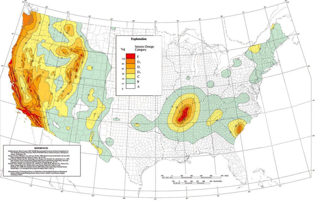
3. Earthquakes
Kentucky is located on the New Madrid Seismic Zone (NMSZ). While this zone doesn’t have earthquakes as frequently as those in the Western part of the USA, it has the potential for very large, damaging earthquakes of up to magnitude 7.6.
The NMSZ has approximately 200 earthquakes each year. Most of these are too small to be felt. However, there is an earthquake of magnitude 4.0 or greater in the zone approximately once every 18 months. A magnitude 5.0 quake occurs approximately once every 10 years.
The western part of Kentucky is particularly at-risk for damaging earthquakes, but quakes could affect anywhere in the state.
4. Winter Storms
Kentucky doesn’t have heavy snowfall or winter snowstorms often. However, Kentucky does experience freezing rain and ice storms. Most parts of Kentucky can expect at least 6 hours of freezing rain annually. The most northern part of the state can get upwards of 12 hours of freezing rain annually.
Freezing rain most frequently occurs during December and January, but fall and spring freeze events also occur. Icy road conditions from the rain make vehicle accidents and fall injuries common.
It’s also common for people to lose power during freezing rain events, meaning that thousands can be left without a way to heat their homes during the coldest months.
5. Wildfires
In Midwest, Kentucky is #2 for average number of acres burned per year and average number of fires per year. Approximately half of the state is covered by forests. So, when wildfires start in Kentucky, they can be massive.
Because of climate change, the risk of wildfires in Kentucky will only get worse. By 2050, an estimated 42% of all properties in the state will be at risk of wildfire.
Kentucky Wildfire Stats
- Acres burned in 2021: 22,859
- Number of fires in 2021: 723
- Average fires per year: 1,471
- Average acres burned per year: 40,625
- Number of properties currently at risk of wildfire: 721,635
6. Heat Waves and Droughts
Kentucky is part of the “Extreme Heat Belt” in the central United States. This region is very at risk of what the National Weather Service calls “dangerous” and “extremely dangerous” heat days.
A “dangerous” heat day is defined as one where the heat index is 103F and an “extremely dangerous” day has a heat index of 124F or above, which is considered unsafe for all people for any amount of time.
By 2053, an estimated 107 million people in the Extreme Heat Belt will be affected by Extreme Danger days. In Kentucky, more than 150,000 are considered vulnerable to extreme heat.
Currently, Kentucky sees an average of less than 10 days per year with dangerous temperatures. However, this number is going to increase over the next few decades. By 2050, Kentucky is expected to see 50 dangerous heat days per year.
The risk of dangerous heat days is expected to increase throughout all parts of Kentucky. However, Marshall County is especially at-risk. In 2022, Marshall County had 39 dangerous heat days. By 2053, this number is expected to increase to 59 days.
Heat waves are often accompanied by droughts. Because Kentucky is an agricultural state, droughts can be particularly devastating for farmers and have a huge economic toll on the state.